Road design & geomatics
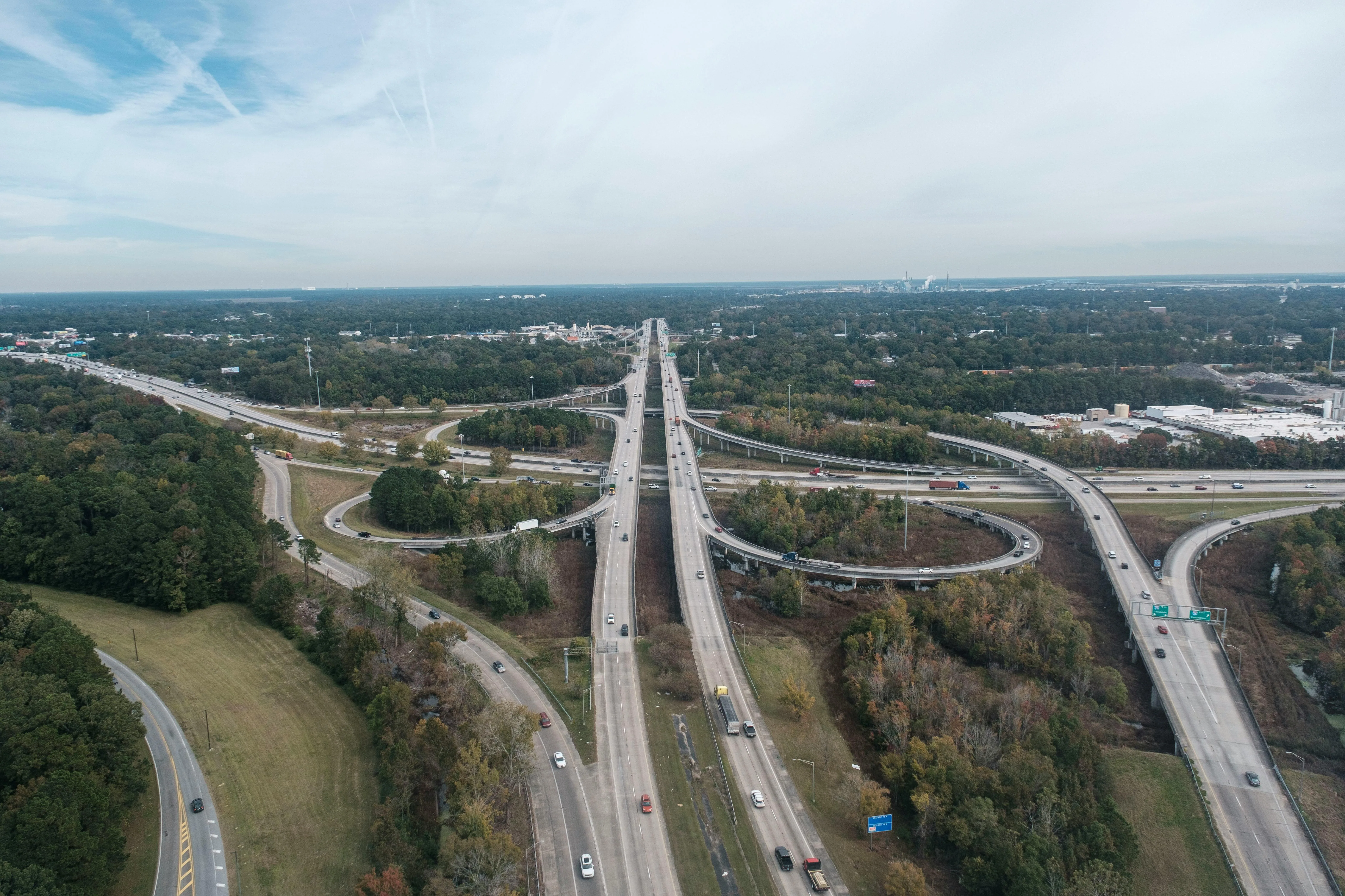
Highway Corridor Upgrade
DGPS control, aerial mapping support, alignment review, and drawing packages for planning teams, contractors, and approval-stage submissions.
View Details
Imperial Associates
Based in Raichur, Karnataka, India—we deliver DGPS & drone survey, BIM/MEP coordination, civil works, and interiors with documentation that keeps field, design, and approvals aligned.


About Us
Civil construction
Earthworks, foundations, structural packages, and site execution for infrastructure and building shells.
DGPS & Drone Survey
DGPS and drone survey, topographic and corridor capture, alignment and highway design, layout and stakeout.
BIM MEP Services
BIM production, services coordination, clash workflows, and documentation packages aligned to how teams build on site.
Architecture & Interior design
Space planning, finishes, and coordination with structure and MEP so interiors are buildable and cohesive.
Latest Projects
DGPS control, aerial mapping support, alignment review, and drawing packages for planning teams, contractors, and approval-stage submissions.
View Details
Multi-discipline BIM modelling for services with clash detection, coordinated plant/shaft zones, and issue-ready drawings that reduce site rework.
View Details
Site layout planning and levels paired with interior space planning, finishes, and reflected ceiling coordination—kept buildable with services interfaces.
View DetailsOur Works
From civil packages and corridor surveys to MEP coordination and interiors—we deliver integrated outcomes you can build on.
0+
Projects & studies delivered
0+
Years of integrated practice
0+
Engineers & survey specialists
0%
Coordination-first delivery
Why Imperial Associates
We combine road and corridor geomatics with structural civil delivery, building services, and interior design—so consultants, contractors, and owners get aligned outputs without juggling disconnected vendors.
Multi-discipline clarity—civil, geomatics, MEP, and interiors described in one coherent scope of work
DGPS and drone workflows paired with road design and layout surveys so field data matches drawing intent
MEP and interior coordination that respects structure, services routing, and buildability on site
Deliverables you can use: survey sheets, design drawings, coordination sets, and documentation for approvals
All services

Ready to Begin
Share the location, discipline mix, and deliverables you need. We can support DGPS and drone road surveys, highway design, civil construction planning, BIM documentation, and interior coordination from early studies through execution-ready packages.